Professional 3D Drone Surveys in Thailand
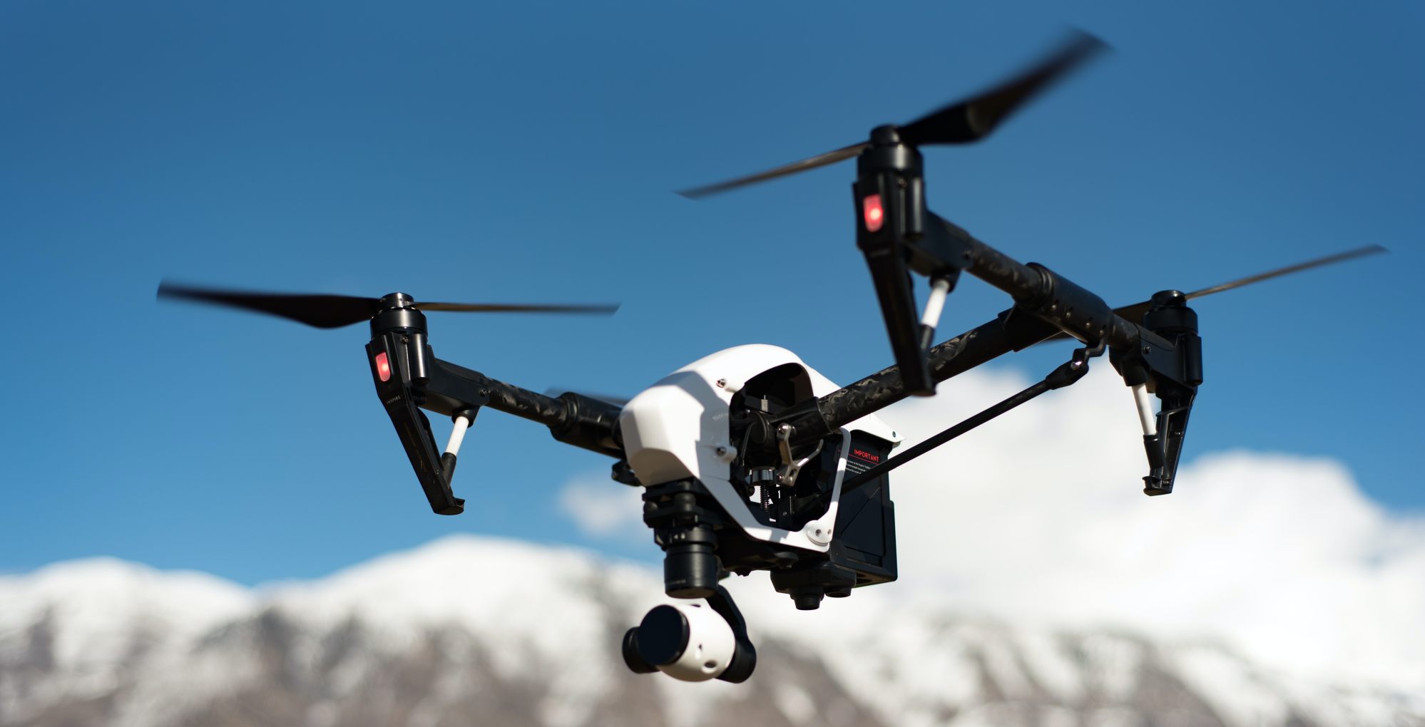
Bangkok Production Company provides drone surveying and 3D mapping services with our drones. The main applications currently for 3D mapping are to be found in the construction industry, monitoring of agricultural projects and specific uses such as the measuring of mining yard volumes.
The new kid on the block are mission based drone flights. We use applications such as Drone Deploy, Altizure or Pix 4D to take 3D imagery of any area that you require. The usage scenarios are very varied. The way it works is that we either get a pre-programmed flight plan for a drone from you and then go and take the required footage at the agreed time intervals. This can be done even when you are not physically here in Thailand. Or we can also create a drone flight plan for you from your project here and then use this drone deploy flight plan to take 3D mapping imagery at agreed on time intervals.

To give you a few examples of possible uses:
– Taking 3D mapping data and textures of a racing track for a game development company.
– Mapping a pre-programmed drone deploy flight plan to monitor a large agricultural area. Use the gathered data to improve farming efficiencies.
– Using a drone deploy flight to capture detailed 3D mapping data for a Virtual Reality application.
– Creating 3D maps of golf courses in Thailand for a GPS application.
Many things must be considered when planning flight paths and taking into consideration the usage after the imagery is taken. For example, taking footage at a lower altitude will result in higher resolution and more accurate maps being recorded. At higher altitudes, maybe the flight path can cover more area but then when stitching the maps together later, it might have too many inaccuracies and require re-recording the drone flight path with drone deploy.
The general process of a drone surveying and mapping mission is as follows:
1. Fly with drone deploy
Plan a flight path and then let the drone automatically fly along that path and capture aerial imagery with the drone. Depending on flight length, this might require numerous batteries days to complete.
2. For 3D structural mapping, do an additional flight with the Dji Go app
An additional flight must be done at the same altitude drone deploy flight. When it is complete it will be used together with the aerial images from the drone deploy flight to stitch together the 3D or topographical map.
3. Process the recorded aerial imagery data
Use the captured imagery and process them into maps and 3D models. This process is the first part of post-production and requires usually several hours to complete just the processing.
4. Analyze the recorded 3D drone mapping data
Identify trends and problems, make measurements and use the gathered information in your other business processes and tools.
